The Importance of Awareness
Navigation is the art and science of guiding a vessel safely from one point to another. In the rock-strewn archipelagos and vast lakes of the Nordic region, precise navigation is essential. While modern electronics have simplified route planning, relying solely on a screen can be dangerous.
Boaters should continually verify their position using traditional methods, maintain a sharp lookout, and check current official navigation information and local rules.
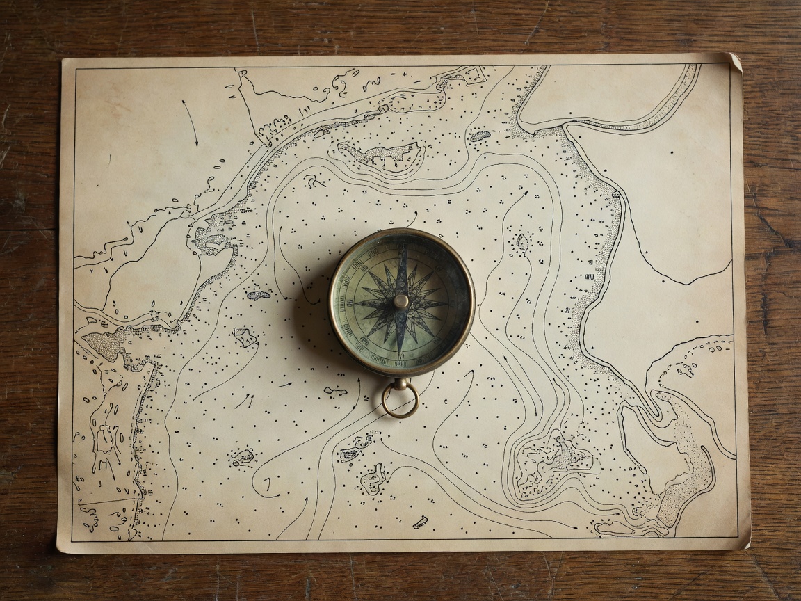
Nautical Charts
Paper charts remain the ultimate backup. They provide a broad overview of depths, underwater hazards, shipping lanes, and coastal features. Learning to read symbols for rocks, shallows, and lighthouses is a foundational boating skill.
GPS & Chartplotters
Global Positioning Systems overlay the vessel's exact position on a digital map. They provide real-time data on speed and heading. However, electronics can fail due to power loss, so they should be used in conjunction with visual observations.
Compass Use
The magnetic compass is completely independent of the boat's electrical system. It allows the helmsman to maintain a steady heading and is crucial for taking bearings on landmarks to fix a position if electronic aids fail.
Buoys and Markers
Lateral and cardinal marks indicate safe channels and isolated dangers. Understanding the color, shape, and light characteristics of these navigational aids is required for safe passage through dredged channels and archipelago routes.
Weather Awareness
Navigation includes anticipating environmental changes. Monitoring barometric pressure and official marine forecasts helps avoid being caught in high winds or thick fog, which drastically complicates navigation.
Route Planning
A safe journey starts before leaving the dock. Planning involves calculating distances, estimating travel times based on vessel speed, identifying alternative ports of refuge, and reviewing the specific hazards along the intended track.
Harbour Approach
Entering unfamiliar harbours requires studying the chart in advance, identifying leading lines or approach marks, and understanding local currents or ferry traffic that might affect manoeuvring in confined spaces.
Local Regulations
Speed limits, restricted military zones, and nature reserves are common in Nordic waters. Navigators must be aware of and adhere strictly to these local rules to ensure safety and environmental protection.